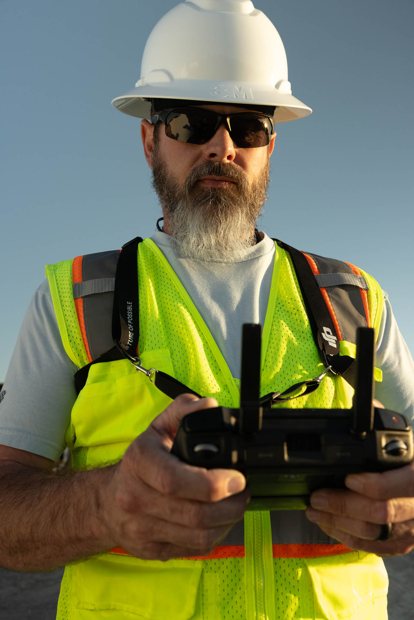
Drone Survey Services for Jobsite Progress, Documentation & Mapping
Construction Drone Services for Jobsite Progress, Mapping & Surveys
Our Specialized Construction Drone Services
Land Monitoring & Aerial Surveys
Utilize high-resolution aerial imagery to gain comprehensive insights into your construction sites, ensuring precise planning and execution.
Site Inspections
Conduct thorough commercial drone inspections with real-time aerial data, improving safety while reducing the need for manual checks.
Mapping & Modeling
Leverage our state-of-the-art drone technology for precise aerial mapping and 3D modeling, providing critical data for informed construction decisions.
Progress Monitoring
Track project progress with regular aerial updates, giving stakeholders clear visual reports for enhanced transparency and efficiency.
Unmatched Precision
Rapid Deployment
Cost-Effective Solutions
Enhanced Safety Measures
Real-Time Data Collection
Environmental Monitoring
Infrastructure Inspection
Disaster Response Support
Comprehensive Area Coverage
High-Resolution Imagery
Advanced Mapping Capabilities
Seamless Integration
Regulatory Compliance
Scalable Operations
Customizable Services
Innovative Technology Utilization
Land Monitoring & Aerial Surveying Contracts
Ongoing Visibility. Smarter Oversight. Reliable Data.
When it comes to managing large properties, developments, or environmental areas, consistent oversight is everything. Drone Perspective Services LLC provides contract-based land monitoring solutions that deliver clear, consistent, and cost-effective aerial data—helping you make informed decisions over time.
Whether you’re a developer tracking site changes, a government agency overseeing protected land, or a utility company managing right-of-way access, our drone monitoring services offer unmatched efficiency and clarity.
Our Land Monitoring Services Include:
-
Routine Aerial Flyovers – Scheduled flights for weekly, monthly, or quarterly visual updates
-
Topographic Mapping & Change Detection – Spot shifts in terrain, vegetation, erosion, or water flow
-
Infrastructure Oversight – Monitor roads, pipelines, fences, and utilities for maintenance or compliance
-
Environmental Tracking – Capture high-resolution visuals for land use reports and conservation efforts
-
Custom Data Reporting – Receive geo-referenced maps, timelapse visuals, and analysis tailored to your needs
We offer flexible contract options designed for long-term partnerships, agency compliance, and efficient land stewardship.

Government Contract Services
We specialize in drone services for government projects, including aerial surveys, site inspections, and mapping that meet stringent regulatory standards. Our pilots and advanced drones provide high-quality data for infrastructure development, environmental monitoring, and urban planning across Idaho, Wyoming, and Utah.
Partner with Drone Perspective Services LLC for reliable, precise, and efficient drone solutions that streamline compliance and project outcomes.
Serving Idaho, Wyoming, and Utah
While we are based in Pocatello, Idaho, our expertise extends to clients throughout Idaho, Wyoming, and Utah. Whether you need ongoing construction drone inspections, aerial mapping for land development, or high-resolution visuals for government reporting, our team is ready to deliver accurate results across state lines.
Unlock Construction & Land Monitoring Contract Opportunities With New Heights!
Enhance your construction and land monitoring projects with cutting-edge drone services in Pocatello, Idaho. Contact us today to explore how our expertise in aerial photography, commercial inspections, and mapping solutions can help you achieve your project goals efficiently.
